Home | USV Series | Uscan-USV-8
Uscan-USV-8 Unmanned Surface Vehicle
Professional-Grade & Full-Functional Platform
Payload Bay / L 1.28m / 12 kg (hull only)
Engineered to tackle challenges of capability and comprehensiveness, UscanUSV-8 is serving as a high-performance aquatic platform for specialized projects that demand robust data fusion and extended operational endurance.
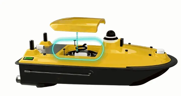
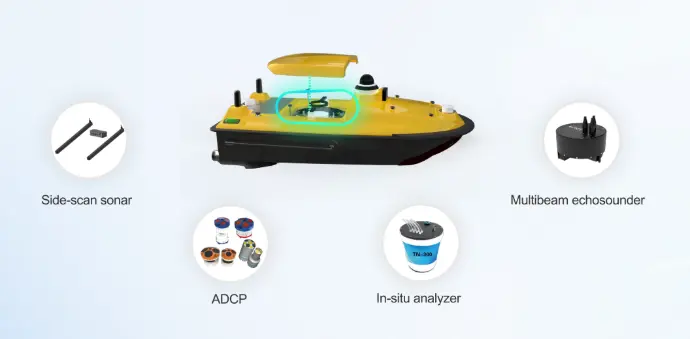
Featuring an optimized 1.3-meter M-shaped hull, the UscanUSV-8 platform offers superior payload capacity and navigation stability, enabling the simultaneous integration of multiple sensors such as multibeam echosounders, Acoustic Doppler Current Profiler (ADCP), and sub-bottom profiler (SBP), side-scan sonar (SSS), functioning as a mobile laboratory on water surface.
Designed for nearshore operations within 200-meter water depths, UscanUSV-8 possesses a high resistance rating of wind and wave, maintaining stable operation and safe navigation even under complex work conditions to ensure efficient mission completion. With its strong compatibility, all-weather operational capability, and high reliability, UscanUSV-8 stands as the ideal solution for large-scale and complex surveying and monitoring tasks
Uscan-USV-8 Unmanned Surface Vehicle
Key Features:
30‑cm‑diameter Moon Pool:Delivers stronger payload capacity
One‑key Start:Simple and quick startup operation
Dual‑color Indicator Lights:Guarantee safe navigation status feedback
Omni‑directional Bumper Protection:Robust hull for heavy‑duty usage
Balanced Battery Power Supply:Endurance increased by 20%
Optimized Antenna Layout:Zero interference during transit & deployment
Overview
Specification
USV Structure & Component Diagram

Safety & Automatic Return Functions
- Low-Battery Return
- Tracking Return
- Auto Backing
- Disconnected Return
- Obstacle Avoidance
Application
- Hydrographic &
2.5D Underwater Topographic Scanning
River & reservoir bathymetry, channel survey, 2.5D underwater terrain scanning - Underwater Infrastructure & Dam Inspection
High-resolution side-scan sonar imaging for inspecting reservoir dams, bridge piers, underwater foundations, and embankment scour profiling. - Hydrological Survey & Emergency Search
Rapid-response underwater object detection, drowning rescue support, debris location, and cross-sectional flow field auxiliary surveying. - Environmental & Water Quality Monitoring
Mobile multi-parameter water quality profiling and spatial distribution mapping via optional integrated sensors and automated route sampling. - Underwater Asset & Pipeline Inspection
Factual acoustic scanning and condition monitoring for submerged pipelines, cable crossings, intake structures, and underwater archaeological sites.
Video Showcase
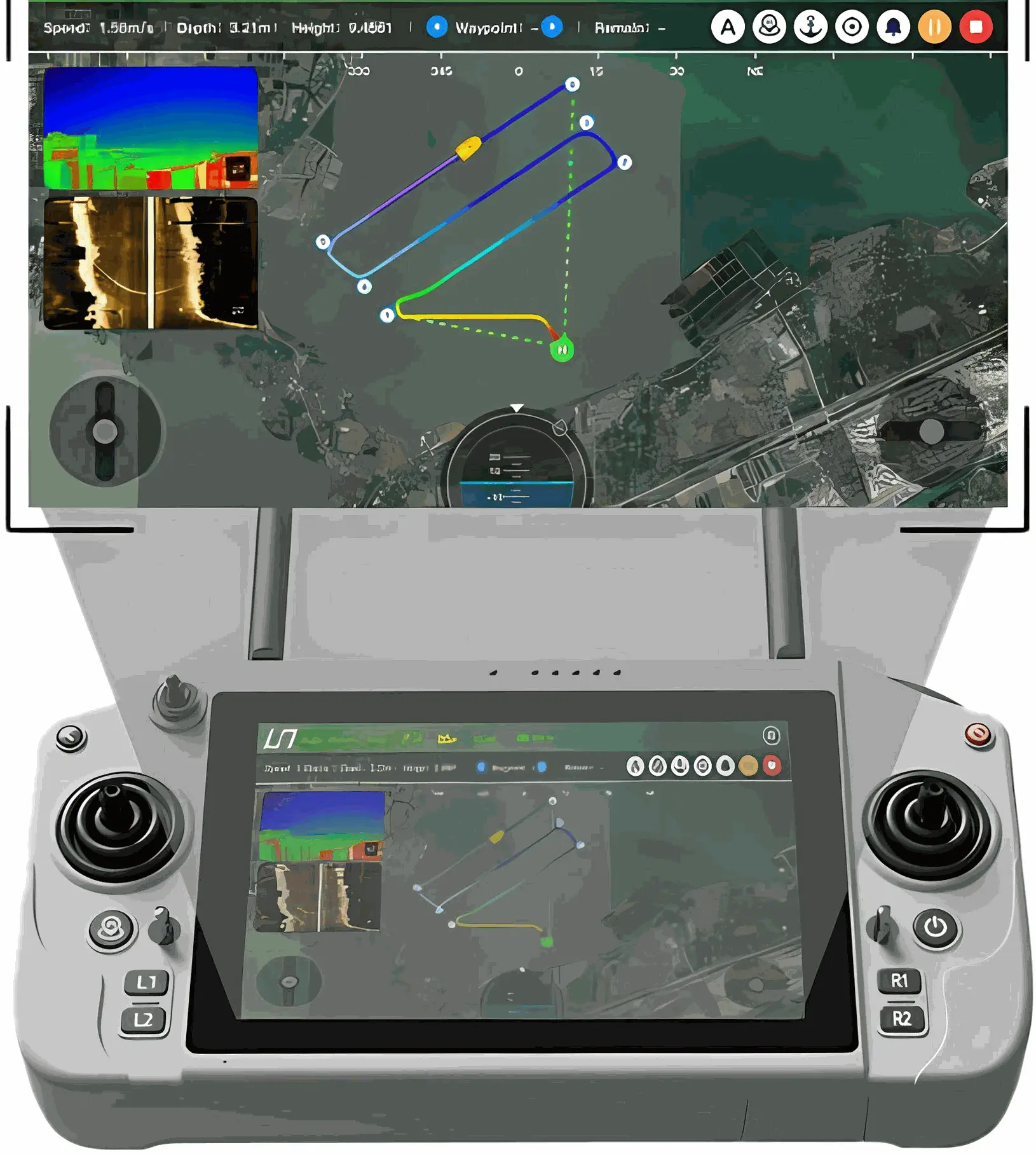
iSail Software & U-Controller Handheld Terminal
iSail: Intelligent Control for USV Operations
iSail is an advanced Android-based software for controlling our USV and post-processing data. It processes operational commands and sensor data, executes control algorithms, and drives the USV to perform corresponding actions.
U-Controller: Professional USV Controller
- Sunlight-Readable 12" Touchscreen
- 2h Fast Charge for 8h Work Hours
- Quick Buttons for Key Functions