Home > Compact Navigator
Compact Navigator Series
Surface & Underwater Navigation Position System Series
Compact Navigator series are all‑in‑one INS/DVL integrated underwater navigation systems, designed for AUV, ROV and marine engineering vessels. Each unit tightly fuses INS, DVL, GNSS and USBL measurements via dedicated Kalman filter, delivering real‑time heading, attitude, velocity and position output. Featuring autonomous dynamic north‑seeking, compact footprint and low‑power consumption, the series supports fully‑autonomous all‑weather surface & underwater missions from shallow coastal to deep‑sea operations.
Two product variants cover different depth & payload requirements:
- NAVS‑MS300DK: Compact lightweight for shallow‑medium depth (300 m) small‑size AUV / ROV
- NAVS‑P600K‑3000M: Deep‑sea optimized version with 3000 m depth rating for work‑class ROV & deep‑diving AUV
→ Request a quote → Specs Comparison
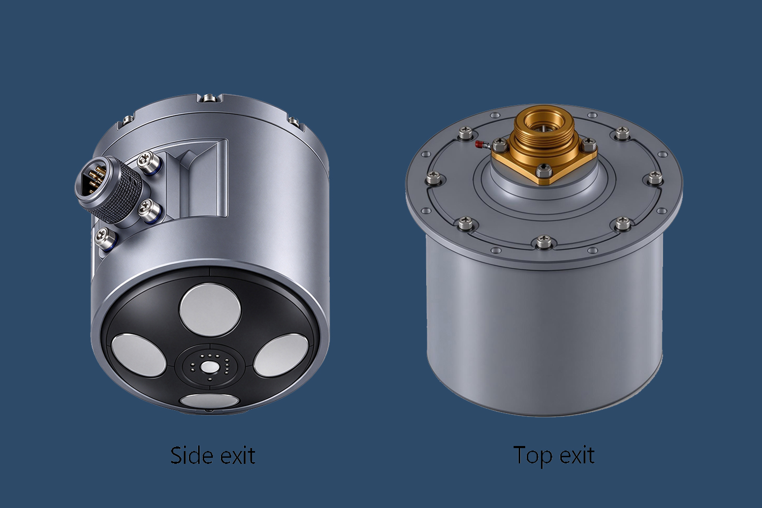
NAVS‑MS300DK
Compact 300 m Navigator
Small‑form INS/DVL integrated navigator for light‑weight unmanned underwater platforms
- ✅ DVL bottom‑track altitude range: 0.2 m ~ 40 m, well‑suited for near‑seabed inspection tasks
- ✅ Ultra‑lightweight <2 kg;Dimension: Φ98 mm × 104 mm / Φ115 mm × 115 mm
- ✅ Heading Accuracy (Pro): ≤0.2°secL (Pure-inertial static alignment)
- ✅ 300 m depth rating
- ✅ Two connector layout options: Side‑exit, Top‑exit for flexible mechanical integration
Applications: Coastal marine resource exploration, shallow underwater engineering, compact AUV / small‑size ROV navigation, search‑rescue in inland water & near‑shore sea areas.
NAVS‑P600K
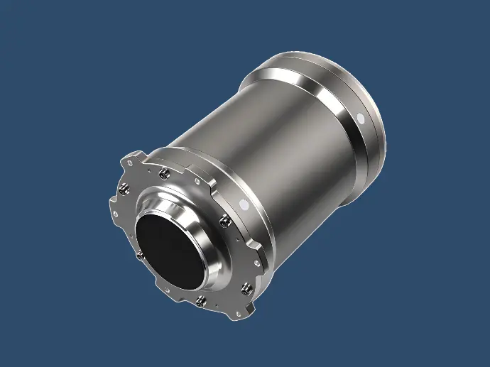
Deep‑Sea 3000 m Navigator
High‑performance deep‑water all‑in‑one navigation unit for deep‑ocean missions
- ✅ DVL bottom‑track altitude range: 1 m ~ 110 m for deep‑sea large‑altitude operation
- ✅ Weight ≤8 kg;Dimension: Φ180 mm × 233 mm
- ✅ Heading Accuracy (Pro): ≤0.15° secL (Pure-inertial static alignment)
- ✅ Standard depth rating up to 3000 m, custom pressure housing available
Applications: Deep‑water oil‑gas field survey, deep‑sea pipeline installation & maintenance, work‑class ROV / large deep‑diving AUV navigation, open‑ocean deep‑sea search, rescue & salvage projects.
Product Comparison Table
Typical Applications
- Marine Resource Exploration Seabed geological survey, oil‑gas field location, offshore rig installation, pipeline laying, subsea infrastructure long‑term inspection & preventive maintenance.
- Underwater Engineering Operations Integrate with GNSS / USBL auxiliary sensors for enhanced long‑range positioning stability; support search, rescue and salvage in rivers, lakes, coastal and deep‑open‑ocean environments.
- Unmanned Underwater Vehicle Navigation (AUV / ROV / UUV) Provide stable high‑precision navigation output for seabed investigation, surveying, route patrol and underwater data acquisition; minimize disturbance to marine hydrological environment.

FAQ
Underwater positioning depends on INS+DVL dead‑reckoning when GNSS is unavailable. Position drift correlates with travel distance(D). GNSS will correct position when vehicle surfaces; external USBL can be connected as auxiliary aiding source to reduce drift further.
DVL bottom‑track performance will degrade or be lost. Once bottom‑lock fails, system switches to pure INS mode and position drift increases significantly. USBL backup positioning is strongly recommended for such complex waters.
Standard hardware interfaces: RS422 / RS232. Data output rate configurable from 1‑200 Hz. It supports mainstream marine navigation protocols. Custom protocol development service can be provided upon project request.
Default static alignment ≤ 5 min, dynamic alignment ≤ 15 min. Contact engineering team for special fast‑alignment technical solutions for quick‑start missions.
Both models support custom pressure housing for deeper or shallower depth‑rating. Submit project parameters for technical evaluation.
Power consumption < 10 W. Low‑power design makes both models suitable for battery‑operated AUV and compact / work‑class ROV platforms.
Relevant Products
UAM series
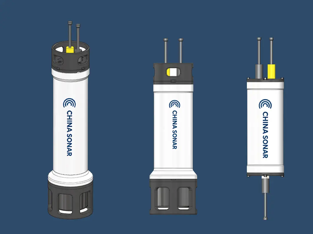
Underwater Acoustic Modems (UAMs)
The UAM Underwater Acoustic Modem series includes High-Reliability and High-Rate underwater communication variants for AUVs, UUVs, gliders, buoys and seabed platforms.
The high-reliability version reaches a maximum range of 30 km.
The high-rate version delivers up to 8 kbps data rate.
Advanced acoustic signal processing ensures stable links in shallow and deep-sea environments.