Home | Dive & Underwater Equipment | Underwater Navigation (Map Series)
Underwater Navigation System Map Series
Seamless Exploration: Precision Mapping for Every Dive
The Underwater Map Series seamlessly integrates advanced underwater acoustic technology with high-precision satellite positioning. This innovative system empowers divers to meticulously plan, record, and export custom underwater routes with absolute accuracy. Designed to be your definitive guide beneath the waves, our mapping solutions transform complex underwater terrains into navigable, data-rich environments for every mission.
Types of Underwater Map Series
DS-Commander-Map
This advanced control center integrates high-precision mapping to deliver critical real-time data to surface commanders. By providing a live, detailed visualization of the underwater environment, the system enables commanders to monitor diver positions and mission progress with superior accuracy. This centralized oversight significantly enhances command efficiency and ensures informed decision-making during complex subsea operations.
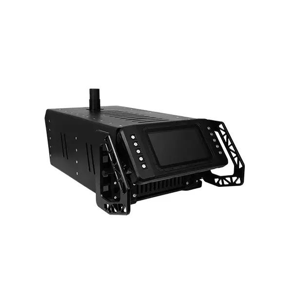
Underwater Navigation System Operation Situation Map
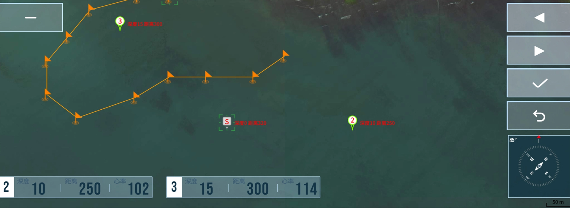
Key Advantages
Enhanced Operational Efficiency
The system streamlines operational workflows by integrating real-time underwater positioning with dynamic map visualization. By supporting multiple map formats, this innovative solution allows surface teams to monitor divers and assets with unprecedented accuracy. This centralized data view simplifies decision-making and significantly reduces response times in challenging marine environments.
Optimized Mission Coordination
Our mapping technology bridges the critical communication gap between surface commanders and underwater teams. By ensuring perfect alignment through shared spatial data, the system facilitates seamless coordination during complex tasks. The real-time data delivery enhances overall team performance, ensuring that every mission objective is met with precision.
Powerful Integrated Functionality
Equipped with a suite of advanced positioning, navigation, and mapping tools, this series supports a broad spectrum of underwater missions. The system provides the high-level functionality required to track diver locations and manage assets effectively, delivering the technical depth necessary for success in diverse and demanding subsea environments.
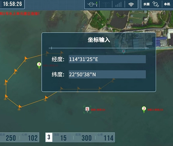
FAQs: Dive Navigation Map Series
The system offers four versatile viewing modes to suit different mission requirements: Standard Map, Satellite Map, Coordinate Map, and Imported Map (for custom site data).
The system is capable of tracking and managing a maximum of 1,500 individual targets, providing extensive oversight for large-scale operations and asset management.
Yes. Our specialized navigation computers, such as the DS-Navygator-Map, are fully equipped with integrated mapping capabilities, bringing real-time spatial data directly to the diver's wrist.
Yes. The system allows you to easily export recorded dive paths and route maps, facilitating post-mission analysis and detailed reporting.